
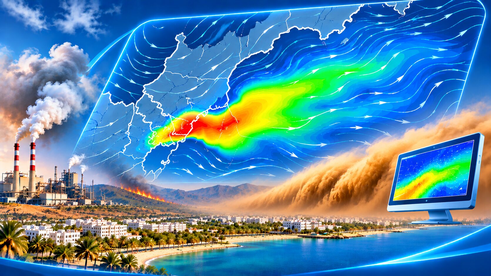
Air pollution is one of the major environmental challenges due to its impacts on human health, the environment, and the economy. As emission sources increase, including industrial activities, transportation, wildfires, and dust storms, forecasting the movement and dispersion of pollutants becomes increasingly important. In this context, Numerical Weather Prediction (NWP) provides essential atmospheric inputs for air-pollution transport and dispersion models.
Wind is one of the main factors controlling pollutant transport, determining its direction and rate of movement. Atmospheric stability also affects vertical mixing and dispersion, as well as the accumulation of pollutants near the surface. Temperature, humidity, and rainfall can further influence pollutant behavior and removal from the atmosphere.
Air-pollution dispersion models use these meteorological inputs to simulate how pollutants move from their emission sources into surrounding areas.
Applications in Tracking and Forecasting Air Pollution
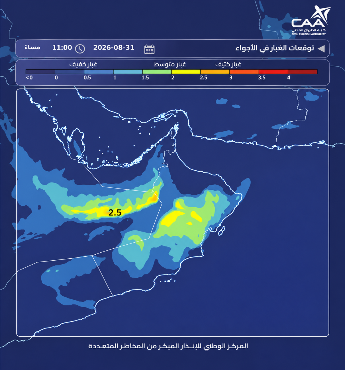
Pollution-dispersion models produce maps and forecasts showing the expected transport pathways, pollutant concentrations, affected areas, and potential timing of impact. Some models can also be used in reverse, using observed pollutant concentrations to estimate the possible location or area of an emission source.
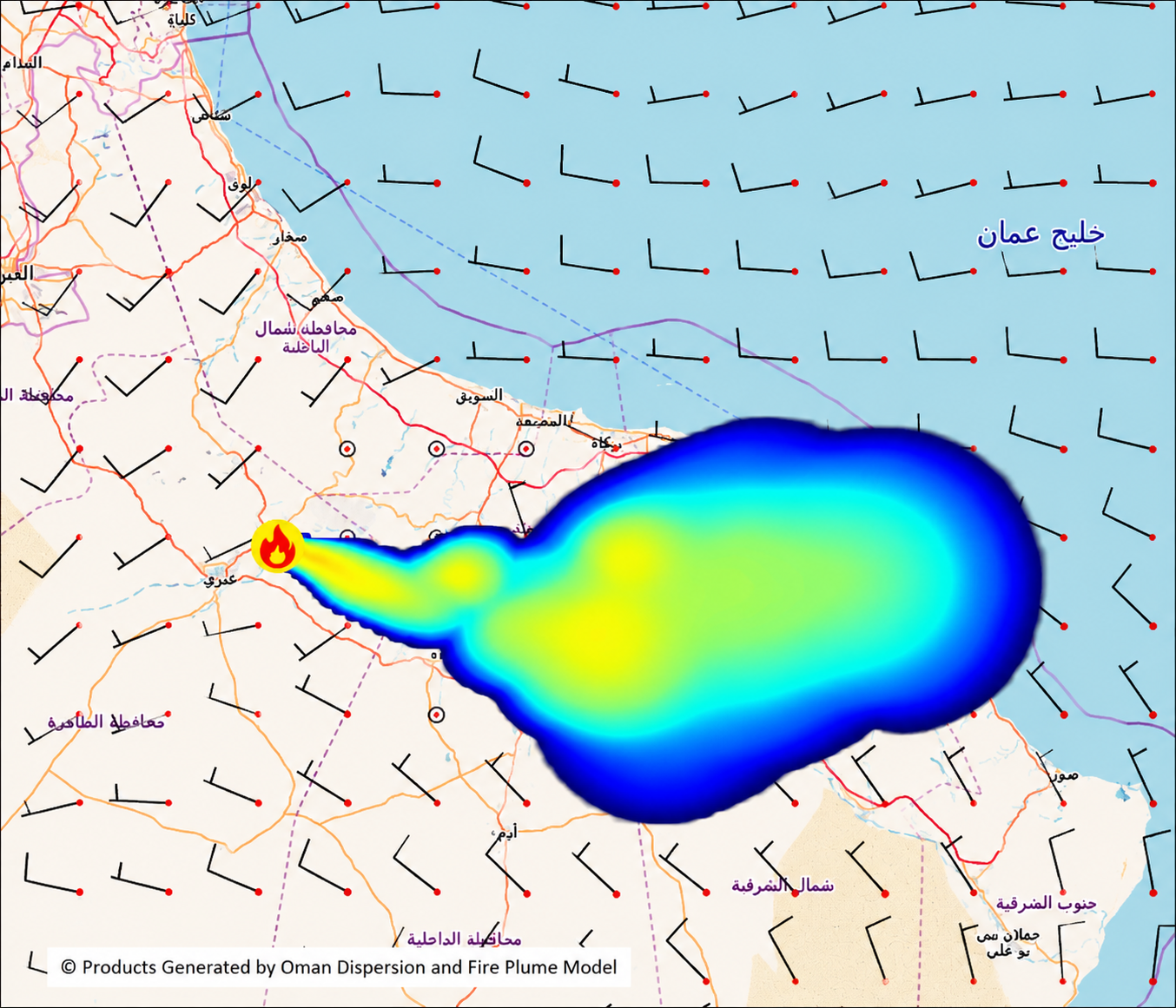
Fire Simulation Using Dispersion and Fire Plume Model
These technologies have a wide range of applications, including forecasting smoke from wildfires, simulating dust and sandstorm transport, and modelling the dispersion of chemical pollutants and hazardous materials during emergencies. Specialized models are also used to simulate volcanic ash transport in the atmosphere, supporting aviation safety.
Another important application is atmospheric dispersion modelling of radioactive materials during radiological emergencies. These models use weather forecasts—particularly wind speed and direction, atmospheric stability, and rainfall—to simulate the transport of radioactive materials and estimate potentially affected areas. This information supports authorities in identifying areas requiring additional monitoring and appropriate protective measures.
Benefits and Decision Support
Pollution-dispersion models provide valuable decision-support information by identifying areas that may be affected before pollutants reach them, allowing authorities additional time to respond and take appropriate measures. In the Sultanate of Oman, these applications are particularly relevant for monitoring dust storms, industrial emissions, and transboundary pollution.
However, model results are not 100% certain. They are estimates that depend on the quality of input data, the accuracy of weather forecasts, and how well atmospheric physical and chemical processes are represented. Results can also be affected by local wind variations, terrain, and uncertainties in the amount, location, and characteristics of the emitted material.
For this reason, model outputs are generally presented as forecasts of potential transport pathways, concentrations, and affected areas, and are continuously updated as new observations become available. By combining NWP, pollution-dispersion models, and observations, an integrated scientific system can support early forecasting, risk assessment, decision-making, and the reduction of potential impacts on human health and the environment.