Weather radar is an important tool used to detect rainfall, monitor rain-bearing clouds, and track their movement. It operates by transmitting electromagnetic waves that are reflected when they collide with raindrops or snowflakes, then return to the radar system to be analyzed and displayed as visual information on screens.
The concept of weather radar is similar to an echo. Just as sound waves reflect after hitting an object, radar waves return carrying information about the location, intensity, and type of precipitation.
The Beginning and Development of Weather Radar
The use of weather radar began by coincidence during World War II, when radar systems were used to detect enemy aircraft and ships. Radar operators noticed that rainfall appeared as unwanted signals on their screens, leading to the discovery of radar’s potential for detecting precipitation.
Over time, weather radar technology advanced significantly, and most modern systems are now Doppler radars, capable of detecting the movement and direction of raindrops. Radar data are also used in short-term weather forecasting and to improve the accuracy of numerical weather prediction models.
Dual-Polarization Weather Radars
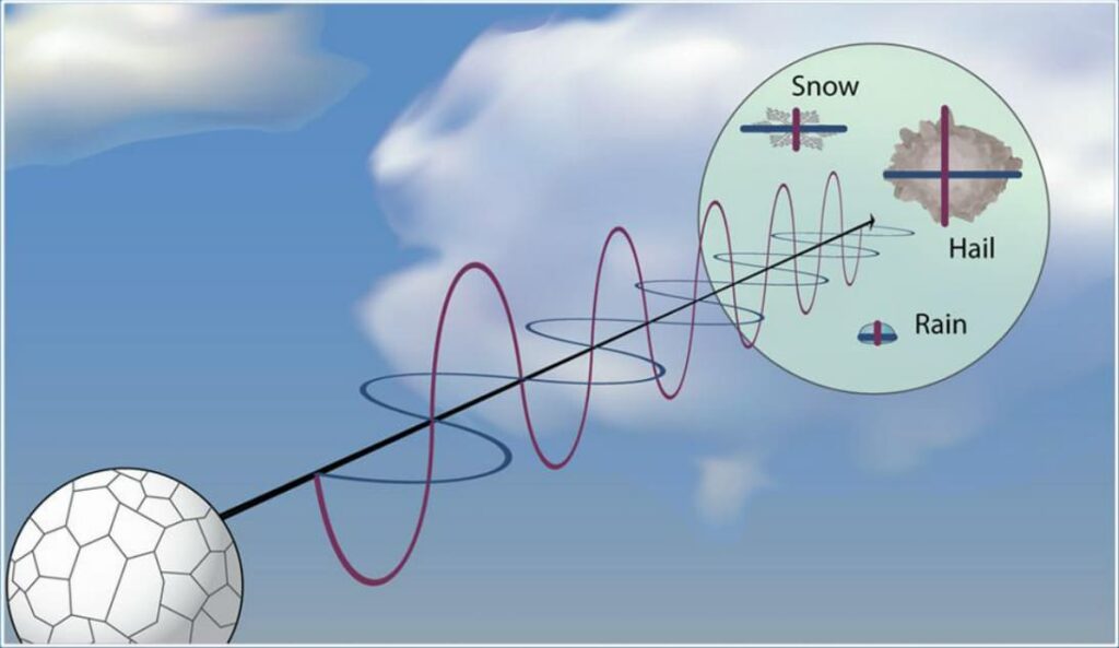
Dual-polarization radar is an advanced form of Doppler radar that transmits and receives waves both horizontally and vertically. This allows accurate distinction between:
- Rain
- Snow
- Hail
Weather Radar Images and Color Interpretation
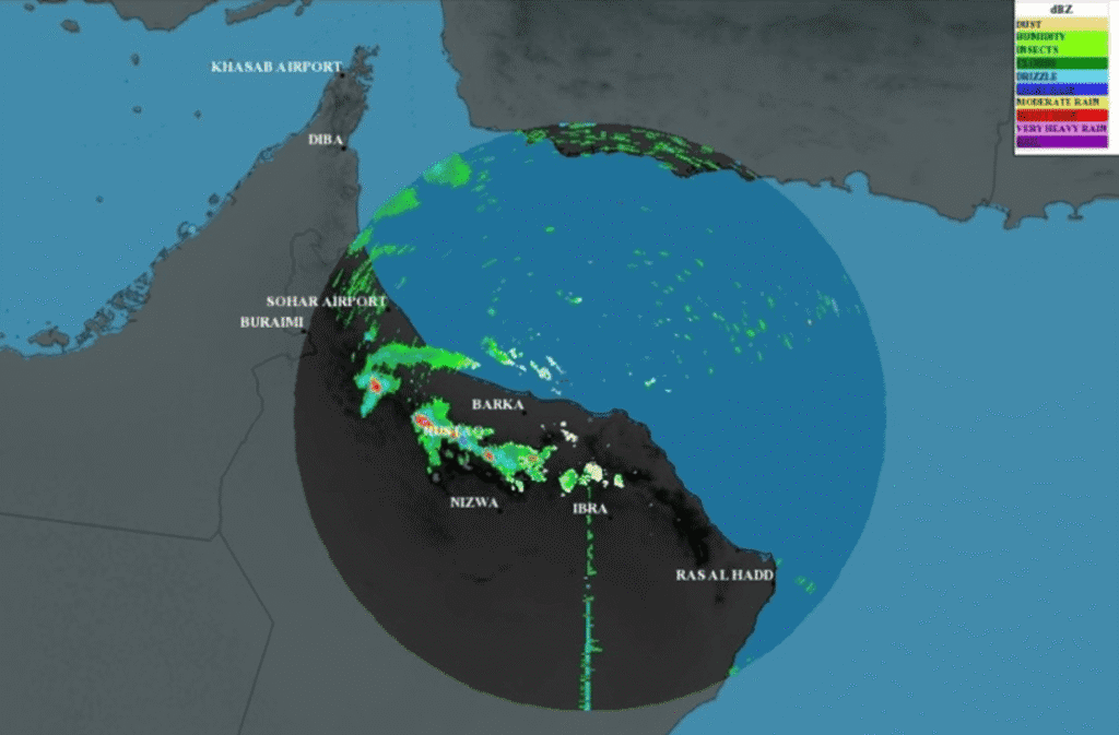
Radar displays present color-coded maps indicating precipitation intensity:
- Green: Light rain
- Yellow and orange: Moderate rain
- Red: Heavy rain, often associated with thunderstorms
What Does Weather Radar Detect?
Weather radar detects:
- The location of rainfall
- Precipitation intensity
- The direction and speed of cloud movement
This makes weather radar an essential tool for short-term weather forecasting.