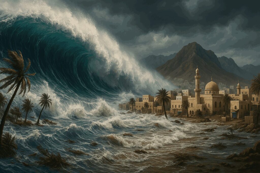
Tsunami waves, also known as seismic sea waves, are a series of traveling waves that move outward from the source area. Earthquakes are often the primary cause of tsunamis, and the earthquake must occur under or near the ocean. However, not every earthquake results in a tsunami.
Tsunami waves can travel at speeds comparable to a commercial jet—over 800 kilometers per hour (500 miles per hour). As these waves approach shallow coastal waters, their speed decreases, causing the waves to grow in height. In the case of distant tsunamis, waves may reach heights of up to 15 meters, and up to 30 meters when the tsunami occurs near the earthquake’s epicenter.
Tsunami waves can travel long distances across land, potentially causing severe flooding and submerging large areas with water and debris. While the exact timing of a tsunami cannot be predicted, studying historical events allows scientists to identify high-risk areas.
The National Multi-Hazard Early Warning Center
After the 2004 earthquake that caused a devastating tsunami, the Omani government recommended that the Ministry of Transport and Communications establish the National Multi-Hazard Early Warning Center in the Sultanate of Oman. The center was initially part of the Directorate General of Meteorology and Air Navigation, under the ministry’s supervision until 2013, after which it became part of the Public Authority for Civil Aviation.
In 2005, a national committee was formed to draft a working plan and description for the center. In cooperation with the Intergovernmental Oceanographic Commission of UNESCO, a Memorandum of Understanding was signed in 2009 to initiate the establishment of the center, and operations officially began in 2010. A committee member was selected to work in the Sultanate from 2011 to 2015, and the National Multi-Hazard Early Warning Center was officially inaugurated on March 23, 2015.
The early warning system consists of three main components:
- Monitoring System: Includes 21 seismic monitoring stations (in collaboration with the Earthquake Monitoring Center at Sultan Qaboos University), 10 sea-level measurement stations, 10 GPS stations, and 12 marine radars.
- Processing System: Where data is analyzed.
- Warning Dissemination System: Data from the stations is transmitted to the national center via satellite, mobile communications, and the internet. Warnings are issued based on this data and distributed to relevant authorities and the public through a series of notifications.
Memories of the 1945 Makran Tsunami
Locally generated tsunamis—responsible for most tsunami-related deaths globally—pose a natural hazard along the shores of the Arabian Sea. The primary source of this hazard lies in the Makran region, which is geologically known as a subduction zone, where active tectonic plates gradually slide beneath the coasts of Iran and Pakistan.
The offshore boundary of this zone stretches for 800 kilometers beneath the continental slope. If a rupture were to occur along the entire length of this zone, the earthquake could reach a magnitude between 8.7 and 9.2, and the resulting tsunami wave could exceed 10 meters in height along the northern coasts of Oman, southeastern Iran, Pakistan, and northwestern India.
This represents the worst-case scenario, based on the Makran earthquake and tsunami of 1945, which had a magnitude of 8.1. The earthquake was caused by a rupture in the eastern portion of the subduction zone, along the coast of Pakistan.
The rupture began offshore near Pasni and extended beneath the Ormara region. The tsunami was partly attributed to underwater landslides beneath the seabed, and the resulting waves reached the coast. The earthquake and its resulting floods occurred early in the morning on November 28, 1945.
Thirteen deaths were confirmed in Bombay (now Mumbai), while the rest of the recorded fatalities occurred in coastal areas that today form part of Pakistan, which at the time was divided among Balochistan, the Omani enclave, and British-administered territory. Effects were also recorded in Iran and Oman. The estimated total death toll from the event ranges between a few hundred and 4,000 fatalities.
What to Do During a Tsunami?
- If you feel an earthquake, notice a sudden retreat of water from the shore, or hear a sound like a jet or train, do not wait for evacuation orders—leave the coast immediately and head inland or to higher ground.
- A tsunami is not a single wave but a series of massive waves that can cause flooding lasting for hours. The first wave is not always the largest.
- Do not approach the shore to watch the tsunami. If you can see the wave, you are too close to escape.
- If evacuation is not possible, move to an upper floor of a strong building or climb a tree.
- If caught in the waves, try to stay afloat and avoid floating debris.
- Do not return to the shore until the National Multi-Hazard Early Warning Center declares the danger has passed.
