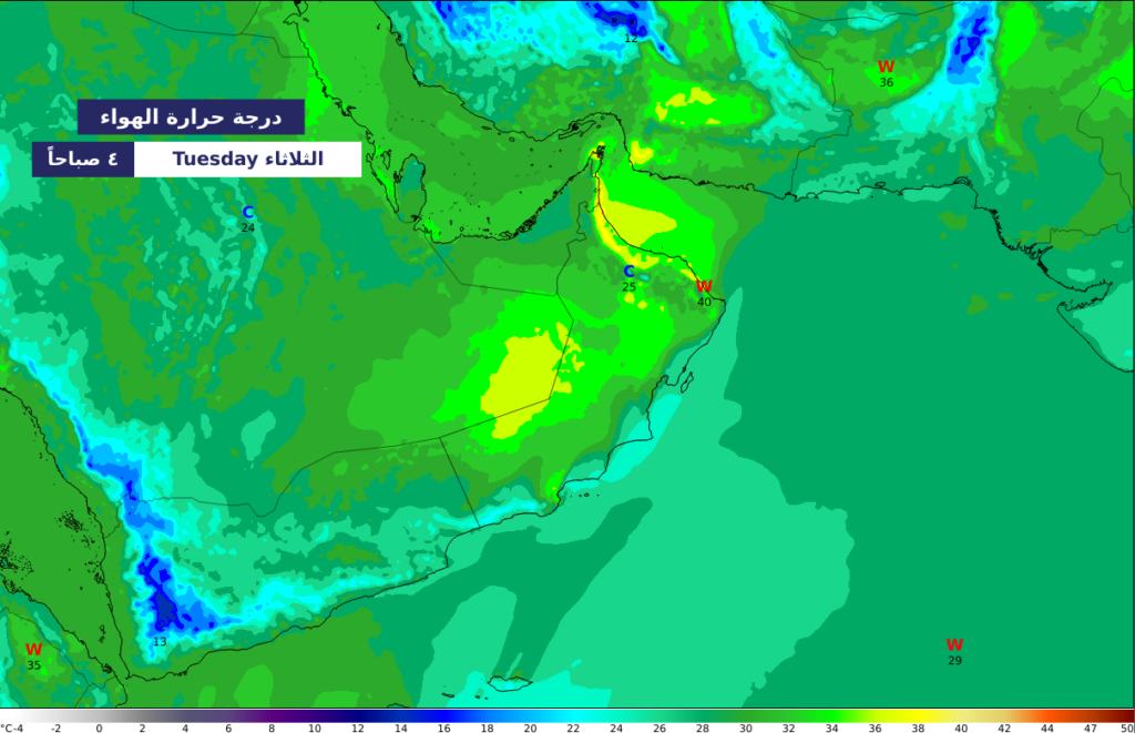
modeled 2m air temperature (C°)
Numerical predictions are vital scientific tools that contribute to many critical fields, including weather, cyclones, tsunamis, aviation, wadi floods, dust storms, climate change, and more. These predictions help protect communities from natural hazards, develop adaptation strategies for potential climate changes, and support decision-making based on accurate and up-to-date data through early warning systems.
Weather Forecasts
- Providing forecasts for daily, short-term, and medium-term weather conditions.
Sea and Ocean Forecasts
- Continuously estimating wave heights, directions, and ocean currents.
- Supporting fishermen, maritime navigation, and various marine activities.
Tropical Cyclone Forecasts
- Providing information on the likelihood of tropical cyclone formation, their tracks, intensity, and timing of impact.
- Predicting storm surges caused by storms and tropical cyclones, with identification of potential flooding areas to facilitate evacuation measures.
Seasonal Forecasts
- Offering seasonal forecasts for weather conditions and changes in weather elements over the next three months.
- Studying and analysing factors influencing seasonal variations such as temperature, humidity, winds, and atmospheric pressure.
Tsunami Risk Forecasts
- Predicting tsunami wave heights and expected arrival times at the coasts.
- Identifying flood-prone areas and risk levels.
Aviation Sector
- Providing precise forecasts of weather elements that affect flight routes and airport operations.
Wadi Floods
- Forecasting the intensity of wadi flows and flood occurrences in affected areas.
- Determining vulnerability of areas most prone to flooding based on soil characteristics and elevation.
Dust and Air Pollutant Tracking
- Predicting the paths and spread of dust clouds in vulnerable regions.
- Identifying air pollutant trajectories, concentrations, and potential impacts.
Marine Search and Rescue
- Forecasting the spread of marine pollutants, such as oil spills, based on marine models.
- Supporting search and rescue operations by tracking drowning incidents and missing vessels using ocean currents and wind data.
Coastal Risk Assessment
- Providing detailed maps of vulnerability and risk levels across various areas, based on Numerical modelling of potential coastal hazard scenarios such as cyclones and tsunami waves.
- Assisting decision-makers in developing integrated response plans to mitigate the impact of natural hazards.